


Bridging the gap: How Connected Nation made the Digital Divide visible
This is part 1 of the two-part series Bridging the Gap by Nathan Smith.
Bowling Green, Ky. (March 24, 2026) - Is it important to have broadband internet service available at your actual house — or is it good enough if it reaches somewhere nearby, perhaps to a neighbor down the street?
Obviously, people need broadband at home. Yet for many years, federal broadband policy acted as if somewhere on the block was good enough. Programs relied on the Federal Communications Commission’s (FCC) Form 477 maps, which measured coverage at the level of the census block. If one home in a block had broadband service, the entire block could be counted as “served.”
In large rural blocks, that meant many households with no connection at all were effectively invisible to policymakers. Their need existed, but the data did not show it. It is a vivid example of how public policy is constrained by available information, and how better data can unlock better policymaking.
From the beginning, creating accurate information about broadband coverage has been central to the mission of Connected Nation (CN). Reliable data are a prerequisite for a social contract that ensures people can obtain the internet service they need.
When households lack broadband, they are increasingly cut off from modern life. Students struggle to complete homework. Businesses cannot fully participate in the digital economy. Families lose access to telehealth, remote work, and online government services. As artificial intelligence and other bandwidth-intensive tools spread, connectivity becomes even more essential.
Communities have long demanded solutions. But solving the problem requires more than urgency — or even funding. It requires knowing where broadband is available and where it is not.
Data are upstream of planning, which is upstream of building.
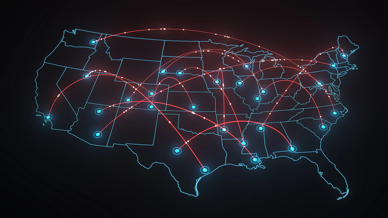
Today we no longer rely on the old Form 477 maps. The FCC’s Broadband Data Collection (BDC), created under the Broadband DATA Act of 2020, measures availability at the level of individual broadband serviceable locations (BSLs). That new level of detail made it possible for the Broadband, Equity, Access, and Deployment (BEAD) program — created by the Infrastructure Investment and Jobs Act of 2021 — to target universal coverage in ways that were previously impossible.
Even so, mapping remains imperfect. The BSL fabric sometimes omits real structures while mistakenly including barns, greenhouses, or other features that do not need broadband service. And infrastructure alone does not solve the Digital Divide. Affordability, devices, and digital skills also matter, but they remain poorly mapped.
Understanding how broadband mapping evolved may help us think about the next steps toward universal digital opportunity.
Broadband mapping began in earnest in 2005, when ConnectKentucky — later renamed Connected Nation — produced the first statewide broadband availability map. The project demonstrated that broadband coverage could be measured and visualized in far greater detail than federal data allowed. Over the following decade, CN helped pioneer location-level mapping across multiple states, laying the groundwork for the approach later adopted in federal policy.
It is an inspiring example of how a mission-driven nonprofit can reshape national policy through innovation.
Universal service, the Telecommunications Act, and the rise of the internet
The internet is the latest chapter in a much longer telecommunications story.
Telephone networks emerged in the late 19th century and expanded gradually over decades. Early systems were fragmented — subscribers could only call customers served by the same company.
The concept of “universal service,” associated with AT&T executive Theodore Vail in the early 20th century, originally meant universal interconnection: a single interoperable network where everyone could reach everyone else.
Over time, the concept expanded to include universal access. The Communications Act of 1934 institutionalized that vision by creating the FCC and establishing a system of regulated monopolies. Telephone companies were granted exclusive territories but required to serve all customers within them. Cross-subsidies from urban areas helped keep rural service affordable despite higher costs.
By the mid-20th century, this system was widely seen as successful. But beginning in the 1980s, both technology and ideology began to reshape it.
Policymakers increasingly favored competition over monopoly regulation. In 1984, the AT&T system was broken up. Yet telecommunications remained difficult to make fully competitive: building multiple sets of wires to every home rarely made economic sense. Instead, competition often emerged between technologies — for example, between telephone networks and cable systems.
Meanwhile, the internet emerged from research networks in the 1980s and entered public life in the 1990s. Early connections relied on dial-up modems over telephone lines. Later, DSL and cable modem technologies enabled broadband service.
Connection speeds rose from tens of kilobits per second in the dial-up era to megabits per second in the early broadband era. Fiber-optic technology, first demonstrated as a practical communications medium in 1970, promised vastly greater capacity.
Amid these changes, U.S. Congress passed the Telecommunications Act of 1996. The law attempted to adapt policy to a competitive environment and encouraged investment and technological innovation.
In many ways it succeeded. But it also made the telecommunications landscape far harder to understand.
Under the old monopoly regime, networks and territories were relatively stable. Regulators had clear visibility into service areas.
In the new system, expansion was driven by market incentives. Companies invested where returns were promising and hesitated where costs were high. Some communities surged ahead while others were left behind.
Understanding what was actually happening on the ground became increasingly important.
Form 477: From regulatory data to a de facto map
The federal government did not initially meet that need.
In 2000, the FCC introduced Form 477, a data collection mechanism requiring telecommunications providers to report information about their services. The goal was not mapping but statistics: subscriber counts, technologies used, and trends in broadband adoption.
Reports based on Form 477 data were aimed more at Congress than at citizens. Geographic detail was limited, and the information did not reveal whether broadband was available at any specific location.
As broadband became central to economic and social life, policymakers began demanding better geographic information. The FCC gradually modified Form 477 to collect deployment data from providers.
But it took an innovative nonprofit to demonstrate how broadband coverage could actually be mapped.
Enter ConnectKentucky. What started as a local effort in Kentucky would grow into a national model, showing that the Digital Divide could not only be measured—but understood, visualized, and ultimately addressed. The next chapter of broadband mapping begins here.
Don’t miss the next installment—next week we’ll follow ConnectKentucky’s journey from a state initiative to a national model for broadband mapping.
Related articles:
About the author
Nathan Smith, Director, Economics and Policy
In that role, Dr. Smith monitors federal broadband policy, writes public comments for federal agencies that request advice on broadband policy implementation, and helps with business development and proposals.
