


Connected Nation Celebrates GIS Day 2021
Louisville, KY (November 17, 2021) - Today is GIS Day, an international recognition of the impact that geographic information systems (GIS) and location intelligence have on our world. Since 1999, GIS Day has occurred in the middle of Geography Awareness Week, demonstrating that a keen understanding of the environmental and cultural geography variables around us help us not only understand why things are the way they are, but how we can address and implement solutions to many challenges that exist on our planet.
At Connected Nation (CN), we whole-heartedly recognize the power of location intelligence and geographic data to make a difference. We are celebrating 20 years of service this year, using location-based data and geospatial analyses to understand not only where broadband (high-speed internet) services are available, but more importantly, where they are not. CN has been doing broadband mapping since we were involved in the first state broadband map for Kentucky in 2004, and we continue to innovate how broadband mapping is done at the state and local levels, as well as enhance the tools and functionality that are available on our interactive broadband maps.
The Digital Divide received significantly increased attention during the pandemic, as people were sent home for work, education, telehealth, government services, and more. However, with the realization that millions of Americans lack home broadband service because of a lack of infrastructure, this divide became even more pronounced and there is now more funding than ever to address the Digital Divide and connect every person across the country.
The work that Connected Nation has been doing to address the Digital Divide involves a very holistic approach. Not only the broadband mapping work to identify where the gaps in service exist, but also the research to identify the barriers for why people don’t adopt broadband if they do have the access, the digital literacy training to prepare people for a digital workforce, the community level engagement to enhance economic development opportunities, and connecting students with home broadband so they will be on level footing with their peers for homework, research, and continuing education.
Connected Nation’s GeoAnalytics department is fully immersed in providing geographic information systems (GIS) and location intelligence for broadband policy and decision makers to bring about greater human connectivity in a digital world. GIS Day is the international recognition of how our broadband data collection, processing, and analyses, along with the visualization of this data on interactive applications, provides stakeholders with the data and analytics-driven information they need to focus efforts and funding in the areas that truly need the most attention.

We will take this day to recognize the contributions of our GeoAnalytics team to increase broadband access, adoption, and use, and we will continue to innovate and enhance what we do and publish in order to eliminate unserved and underserved areas across the country. From the federal level to the community level, everyone is moving from broadband service area representations towards hyperlocal location data on broadband access to identify the best ways to close the Digital Divide for their local communities. There are many factors to consider for how to expand broadband and many different solutions available, but they may not all be feasible for all areas. So, the data collection of telecom assets and infrastructure routes, their exact location and other details has become increasingly necessary as communities need to know what is available and where, to then know which areas are capable of expansion and which areas are starting at square one.
Our GeoAnalytics team is excited about the future of broadband mapping to close the Digital Divide. We will do this by working with broadband providers on their network availability and service areas; working with our Engineering and Technical Service team to collect, validate, and verify broadband assets and infrastructure routes to identify the gaps; working with our Connected Community Engagement teams on getting feedback on the maps and data from local stakeholders and residents; and providing the aggregation and analyses of all these data into actionable information. We do this because we believe everyone belongs in a Connected Nation.
State Interactive Broadband Maps
- Illinois: https://connectednation.org/illinois/interactivemap
- Iowa: https://connectednation.org/iowa/interactivemap
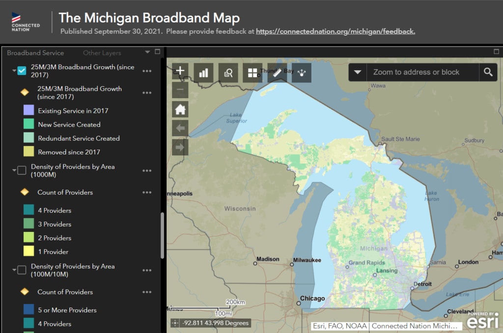
- Michigan: https://connectednation.org/michigan/interactivemap
- Minnesota: https://connectednation.org/minnesota/interactivemap
- Texas: https://connectednation.org/texas/interactivemap

About the Author: Ashley Hitt, GISP, is the Connected Nation Vice President of Geo Analytics. Ashley oversees the day-to-day operations of the GeoAnalytics team. She’s responsible for developing strategies using GIS to provide data visualization solutions that impact policy, economic development, and the Digital Divide. Ashley was also named the 2021 President-Elect for the URISA Board of Director, an international organization. She will serve as President-Elect for one year and her term as President will begin at the conclusion of GIS-Pro 2022.