Using Location Intelligence to Connect Communities
 Ashley Hitt and Brian Dudek at the Esri User Conference
Connected Nation at the 2019 Esri User Conference
by Ashley Hitt and Brian Dudek
Earlier this month, staff from Connected Nation’s GIS Services department attended the Esri User Conference in San Diego, California, marking the ninth year that CN staff members have been in attendance. Esri is the market leader in GIS (geographic information systems) software, bringing over 17,000 attendees together to learn, connect, innovate, and find solutions for the industry-specific challenges we face.
This year’s conference theme was See What Others Can’t, emphasizing that geospatial professionals have the skills to see the location-based issues at the forefront, have the foresight to see future issues, and know the impact those issues can and are having on our world. With rapid technology advances in The Science of Where, or GIS, keeping up with how these tools can be implemented for the improvement and enhancement of our communities is essential to continue making strides in innovative solutions.
“One of my personal highlights from this year’s conference was to hear Jane Goodall speak about conservation and sustainability efforts, and the role GIS plays,” said Ashley Hitt, Director of GIS Services. “The way GIS and location intelligence have such an impact on so many industries and facets of life continues to be astonishing.”
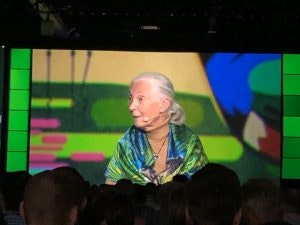
 Primatologist and anthropologist, Jane Goodall, spoke during the Esri User Conference about sustainability and conservation efforts
As Connected Nation collaborates with local communities, broadband providers, and other stakeholders to increase broadband access, adoption, and use, GIS plays a central role in identifying the people and places that are underserved and completely unserved by broadband services. CN uses GIS to enable more efficient broadband data processing, aggregation, and analysis, creating data visualization solutions that inform and empower a variety of stakeholders to resolve broadband issues in order to fulfill the great need and demand for quality broadband service across the nation.
“Seeing What Others Can’t is exactly what GIS and geospatial professionals have done to shed light on the broadband data issues that exist at the federal level,” said Brian Dudek, Senior GIS Analyst. “More people have become aware of the issue. They have studied it and used GIS to better understand all the variables in order to respond to the problem effectively.”
CN envisions a future where everyone is connected – rural and urban alike. GIS creates the foundation for enhanced understanding of the Digital Divide, especially in rural and other seemingly overlooked areas. We use spatial analytics and geospatial solutions learned at the Esri User Conferences to increase location intelligence on broadband deployment at the most local level possible to make more analytical-driven decisions.
GIS makes it possible to convert large amounts of data into actionable strategies to close the Digital Divide, a continued focus of our GIS staff, because we believe that everyone belongs in a Connected Nation.


